What does your Canada look like?
A map can show provinces, cities, roads and rivers. It can also show the places, people, stories and experiences that shape how we understand our country.
But every map represents a point of view. Now you can share your point of view.
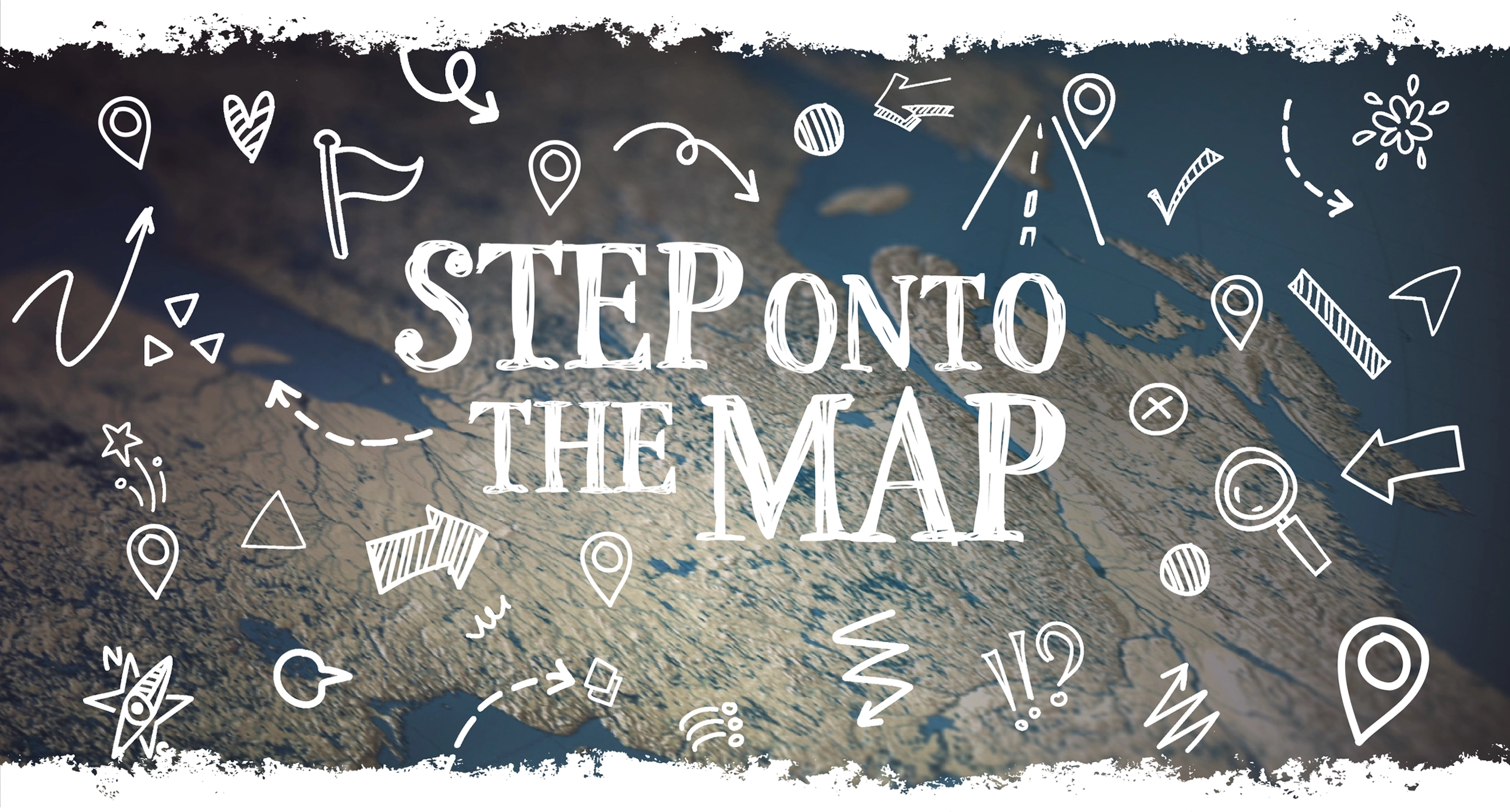
At the centre of this project is a Giant Floor Map showing Canada’s land and surrounding waters – and nothing else. No political boundaries. No cities or roads. No place names. No data layers.
Just Canada, waiting for you.
The map will travel to communities across the country, inviting students, teachers, families and community groups to decide what should appear on it.
What would you put on the map?
Places that tell an important story. People, cultures and traditions that shape your community. Places you love, want to share, or think deserve to be better known. Or something no conventional map would ever show.
There are no wrong answers.
Bring your ideas. Bring your imagination. Create a Canada that reflects your community and discover how others see theirs.
Host an Event
Bring your Canada to the Map
Your Canada is a national participatory mapping project travelling to every province and territory.
Bring your students, organization or community together to explore what Canada means to you — and create a map that begins with your own knowledge, experiences and ideas.
What would your Canada look like?

Together, those maps can help us see Canada in new ways.
The event experience.
The tour is both a public experience and a process of research.
At each event, students, educators, families, community members, knowledge holders and local organizations will gather around the open map to explore what Canada looks like from their own perspectives.
Encounter the open map
Step onto a map of Canada with familiar labels and boundaries removed.
Identify what matters
Through guided conversation, participants consider the places, stories, people, relationships and responsibilities they believe should be visible.
Build the map together
Using physical materials, participants add points, paths, regions, connections, textures and annotations to create their own representation of Canada.
Explore different perspectives
Walk around the completed map. Discover patterns, overlaps, unexpected connections – and what may be absent.
Reflect on the Canada that has appeared
The event concludes with a conversation about what the map reveals, what it cannot capture, and how our understanding of Canada changes when communities become its makers.
Every event creates a different map. Every map offers something to learn.
The Your Canada team will document the events through photography and video, and gather themes, regional distinctions, community priorities and other insights. These perspectives will inform a published Giant Floor Map shaped by what communities across Canada have shared.
AS A HOST, YOU’LL HELP:
- provide an accessible event space;
- invite and coordinate local participants;
- identify community partners and perspectives;
- support local promotion;
- collaborate with the project team on event planning.
WE’LL PROVIDE:
The Giant Floor Map, participatory materials, digital resources, facilitation and documentation support.
Each event will add a distinct local perspective to a growing picture of how Canadians understand the places, stories and relationships that shape our country.
Let’s see what Canada looks like through your eyes.